A New and Elegant General Atlas: Comprising All the New Discoveries, to the Present Time: Containing Sixty-Five Maps
by Aaron Arrowsmith and Samuel Lewis
| A New And Elegant General Atlas. | |
 Title page from A New And Elegant General Atlas., George Wythe Collection, Wolf Law Library, College of William & Mary. | |
| Author | Aaron Arrowsmith and Samuel Lewis |
| Published | Philadelphia: John Conrad & Co. |
| Date | 1804 |
| Edition | First American |
| Language | English |
| Pages | [65] leaves including 63 maps |
| Desc. | 4to (28 cm.) |
| Location | Shelf C-3 |
A New and Elegant General Atlas was created by Aaron Arrowsmith (1750 – 1823), a renowned eighteenth century cartographer and Samuel Lewis (1753/54 – 1822) of whom nothing else is known. A man of high standards, Arrowsmith was constantly making revisions to ensure that his maps were as up to date because the admiralty and the throne of England used many of them. Arrowsmith personally completed the artwork for the maps as well, leading his maps to be well-known for their artistic beauty. After his death in 1823, his son Aaron continued Arrowsmith's work.[1]

Arrowsmith's New and Elegant General Atlas, published in 1804, contains sixty-five maps. It exemplifies the simplistic beauty for which Arrowsmith’s maps were known and incorporates recent discoveries made at the time it was published.
Evidence for Inclusion in Wythe's Library
Thomas Jefferson listed "Atlas by Arrowsmith & Lewis 4to." in his inventory of Wythe's Library, noting that he kept the volume himself. He later sold a copy of the first American edition to the Library of Congress. A copy of this edition exists within the library's collection and is thought to be Jefferson's (and therefore, also Wythe's).[2] Brown's Bibliography[3] references this copy at the Library of Congress while George Wythe's Library[4] on LibraryThing) lists it as the "probable edition". The Wolf Law Library followed Sowerby and Brown's advice and purchased a copy of the first American edition.
Description of the Wolf Law Library's copy
Bound in modern calf backed marbled paper boards. Inscribed "Brice's atlas 5 mo. 19th 1816" on the front free endpaper. Purchased from Arader Galleries.
Images of the library's copy of this book are available on Flickr. View the record for this book in William & Mary's online catalog.
Full text
- A New and Elegant General Atlas (84MB PDF)
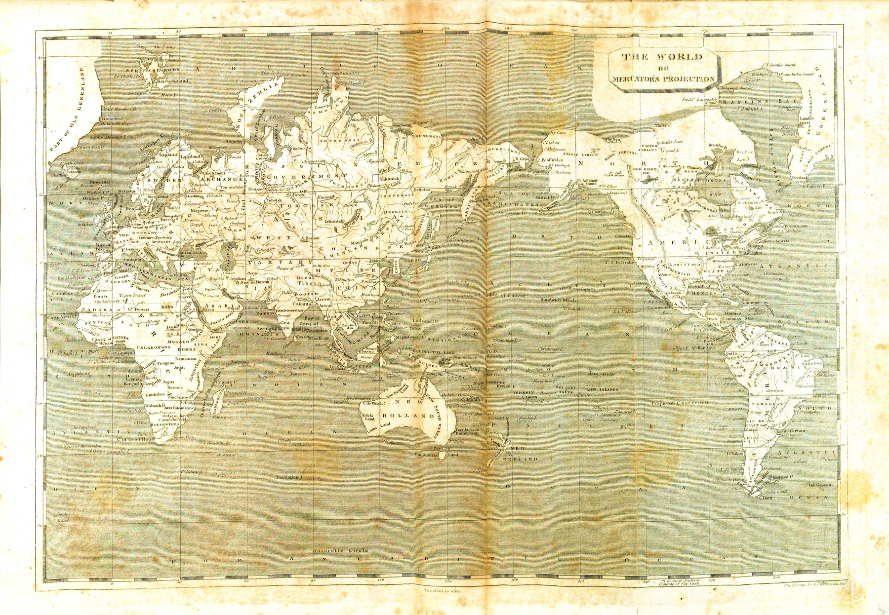
Map of the world. 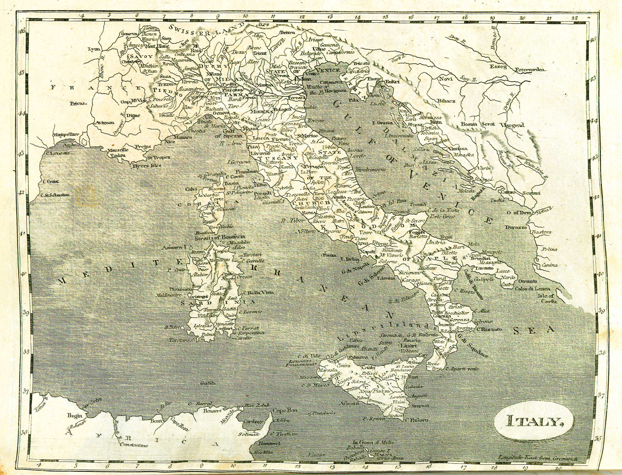
Map of Italy.

