File:CJuliiCaesarisQuaeExstant1719Map.jpg
From Wythepedia: The George Wythe Encyclopedia
Size of this preview: 728 × 599 pixels. Other resolutions: 292 × 240 pixels | 2,844 × 2,341 pixels.
Original file (2,844 × 2,341 pixels, file size: 2.78 MB, MIME type: image/jpeg)
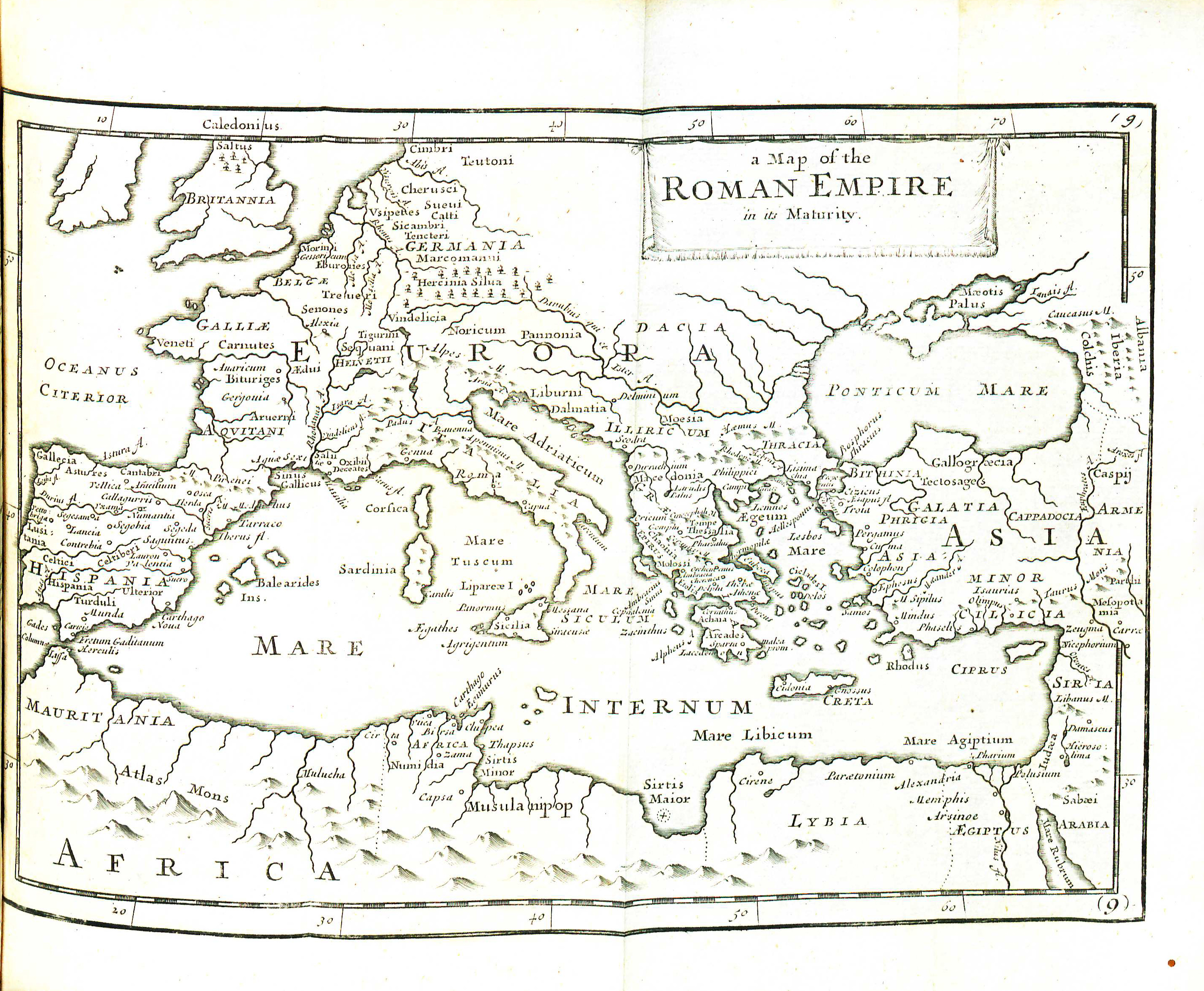
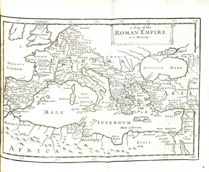
Map of the Roman Empire from Julius Caesar's C. Julii Caesaris Quae Exstant. Edition tertia. Londini: E [sic] typographaeo Mariae Matthews : Impensis J. & B. Sprint, B. Tooke, D. Midwinter, A. Bettesworth, J. Bowyer, H. Clements, Gul. Taylor, T. Ward, Gul. & J. Innys, & Gul. Churchill, 1719.
File history
Click on a date/time to view the file as it appeared at that time.
| Date/Time | Thumbnail | Dimensions | User | Comment | |
|---|---|---|---|---|---|
| current | 11:38, 19 February 2014 | | 2,844 × 2,341 (2.78 MB) | Lktesar (talk | contribs) |
- You cannot overwrite this file.
File usage
The following page links to this file: