Difference between revisions of "File:OrosiusAngloSaxonVersion1773v2Map.jpg"
From Wythepedia: The George Wythe Encyclopedia
(Map of Europe, from volume two of ''The Anglo-Saxon Version, from the Historian Orosius''. London: Printed by W. Bowyer and J. Nichols, 1773. Category:Illustrations) |
|||
| Line 1: | Line 1: | ||
Map of Europe, from volume two of ''[[Anglo-Saxon Version, from the Historian Orosius|The Anglo-Saxon Version, from the Historian Orosius]]''. London: Printed by W. Bowyer and J. Nichols, 1773. | Map of Europe, from volume two of ''[[Anglo-Saxon Version, from the Historian Orosius|The Anglo-Saxon Version, from the Historian Orosius]]''. London: Printed by W. Bowyer and J. Nichols, 1773. | ||
| − | [[Category: | + | [[Category:Maps]] |
Latest revision as of 15:56, 22 February 2014
Map of Europe, from volume two of The Anglo-Saxon Version, from the Historian Orosius. London: Printed by W. Bowyer and J. Nichols, 1773.
File history
Click on a date/time to view the file as it appeared at that time.
| Date/Time | Thumbnail | Dimensions | User | Comment | |
|---|---|---|---|---|---|
| current | 09:58, 11 February 2014 | 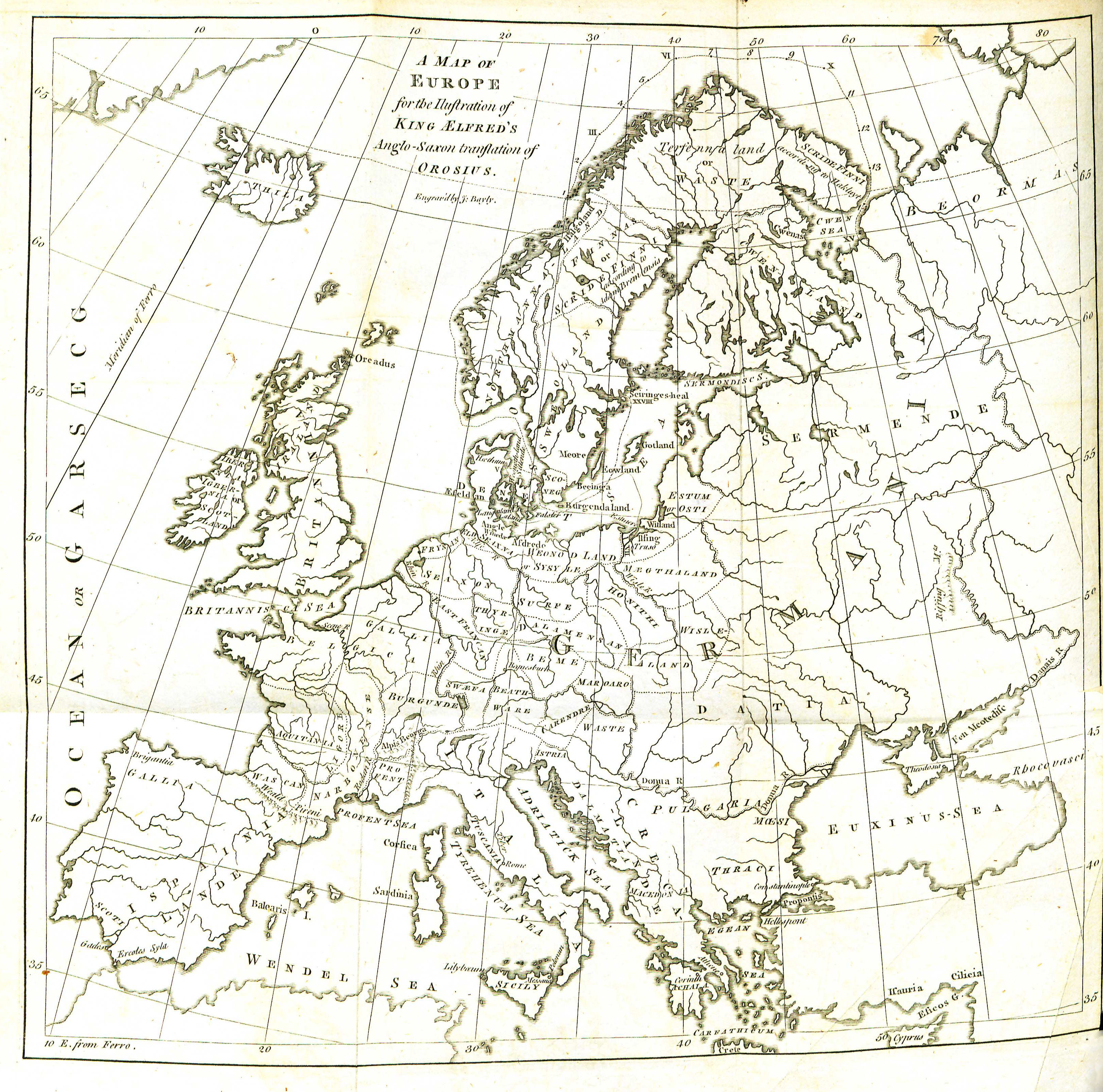 | 3,254 × 3,220 (1.97 MB) | Lktesar (talk | contribs) | Map of Europe, from volume two of ''The Anglo-Saxon Version, from the Historian Orosius''. London: Printed by W. Bowyer and J. Nichols, 1773. Category:Illustrations |
- You cannot overwrite this file.
File usage
The following page links to this file: