Difference between revisions of "File:VirginiaCounties1761-1770.jpg"
From Wythepedia: The George Wythe Encyclopedia
(Map of Virginia counties for 1761 – 1770, from Michael F. Doran's ''Atlas of County Boundary Changes in Virginia, 1634-1895'' (Athens, GA: Iberian Pub. Co., 1987).) |
(No difference)
|
Latest revision as of 10:03, 14 July 2023
Map of Virginia counties for 1761 – 1770, from Michael F. Doran's Atlas of County Boundary Changes in Virginia, 1634-1895 (Athens, GA: Iberian Pub. Co., 1987).
File history
Click on a date/time to view the file as it appeared at that time.
| Date/Time | Thumbnail | Dimensions | User | Comment | |
|---|---|---|---|---|---|
| current | 10:03, 14 July 2023 | 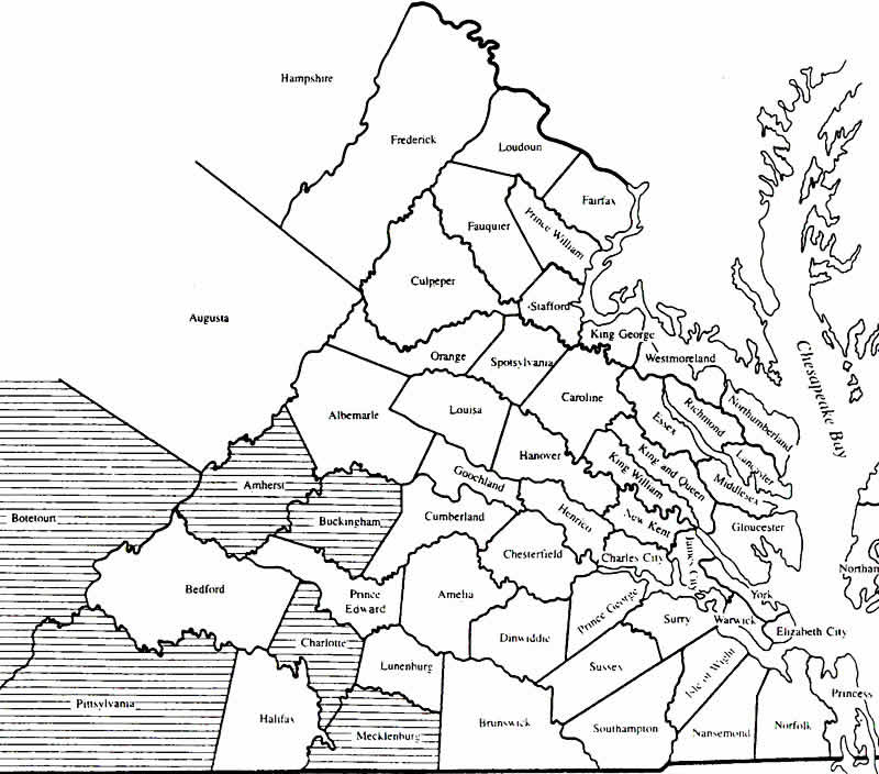 | 800 × 704 (75 KB) | Gwsweeney (talk | contribs) | Map of Virginia counties for 1761 – 1770, from Michael F. Doran's ''Atlas of County Boundary Changes in Virginia, 1634-1895'' (Athens, GA: Iberian Pub. Co., 1987). |
- You cannot overwrite this file.
File usage
The following page links to this file: